Reconnoitring and organisation
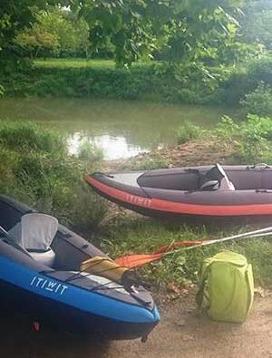
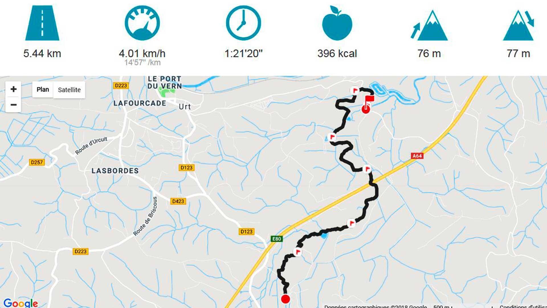
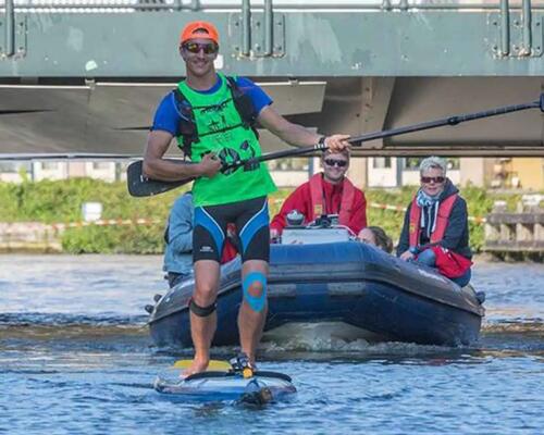
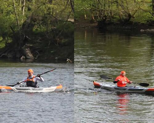
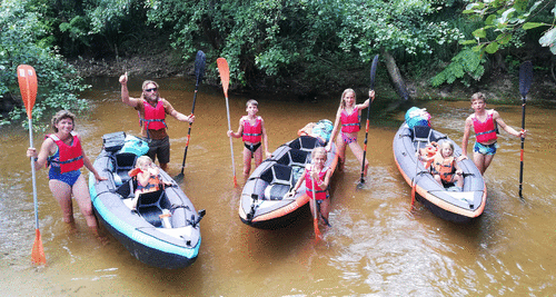
It all started on Google Earth. I used the site to follow the Aran from the confluence and to calculate the distance to be covered: about 5km for the first trip, because my team mates were not regular kayakists. I set off on my mountain bike to find an easy spot to cast off. All I had to do now was synchronise our departure with the tide, which can still be felt in Urt (1h30 difference with the sea), in order to set off when the tide was going out and follow it as far as the confluence. So we had to be on time. My arms still remind me how hard it was to paddle against the tide on an SUP board for the first few kilometres on the Aran. We left one car at our destination by the confluence, then all four of us set off in my vehicle for the starting point with the two Itiwit 3 inflatable kayaks and the separable paddles. And everything fitted in the boot of the car!

